UN
32 Station Road
£ 660,000
Description
We don't have a Description for this property.
- Bedrooms
- 5
- Bathrooms
- 0
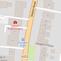
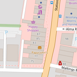
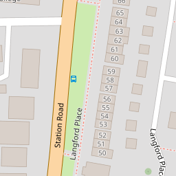

Leaflet © OpenStreetMap contributors
The heatmap indicates the level of crime in the area. The color of the heatmap indicates the crime severity and recency.
Metrics Year-on-Year
- Average area value
- 423,417.00 £Decreased by 4.71 %
- Average area rental value
- 1,573.00 £/moDecreased by 1.75 %
- Est rental Yield
- 4.46 %Increased by 3.24 %
- Crime Rate
- 7.00 %Unchanged by 0.00 %
from 444,363.00 £
from 1,601.00 £/mo
from 4.32 %
from 7.00 %
Nearby Schools
| Name | Type | Ofsted | Distance |
|---|---|---|---|
| West Lodge School | Other Independent School | 0.25 KM | |
| Birkbeck Primary School | Community School | Good | 0.38 KM |
| Benedict House Preparatory School | Other Independent School | Good | 0.45 KM |
| Holy Trinity Lamorbey Church Of England School | Academy Converter | Good | 0.67 KM |
| Burnt Oak Junior School | Academy Sponsor Led | Outstanding | 0.73 KM |
Images
Nearby Streets
| Name | Average Price | Average Sqft | Distance |
|---|---|---|---|
| Sandhurst Road | £ 0 | 0 | 0.00 KM |
| Grange Close | £ 320,000 | 0 | 0.00 KM |
| Kingsmead Close | £ 0 | 0 | 0.00 KM |
| Aston Close | £ 0 | 0 | 0.00 KM |
| Ham Shades Close | £ 295,750 | 0 | 0.00 KM |
Nearby Transport
| Name | NLC | TLC | Distance |
|---|---|---|---|
| Sidcup | 5125 | SID | 0.32 KM |
| Albany Park | 5132 | AYP | 2.62 KM |
| New Eltham | 5119 | NEH | 3.61 KM |
| Welling | 5128 | WLI | 3.73 KM |
| Falconwood | 5137 | FCN | 4.02 KM |
Nearby Listings
| Address | Price | Type | Score | Distance |
|---|---|---|---|---|
| Station Road, Sidcup, Kent, DA15 | £ 635,000 | BUY | 6 / 10 | 0.01 KM |
| Manor Road, Sidcup | £ 340,000 | BUY | 7 / 10 | 0.03 KM |
| Langford Place, Sidcup | £ 400,000 | BUY | 5 / 10 | 0.12 KM |
| Langford Place, Sidcup, Kent, DA14 | £ 425,000 | BUY | Unknown | 0.12 KM |
| Langford Place, Sidcup, DA14 4AZ | £ 450,000 | BUY | 5 / 10 | 0.12 KM |
Nearby Properties
| Address | Price | Distance |
|---|---|---|
| 32 Station Road | £ 660,000 | 0.00 KM |
| 76 Station Road | £ 550,000 | 0.01 KM |
| 80 Station Road | £ 539,000 | 0.01 KM |
| 90b Station Road | £ 160,000 | 0.02 KM |
| 71 Station Road | £ 1,150,000 | 0.06 KM |